TERSUS GNSS FIELD SOLUTIONS
Professional Accuracy. Practical Performance. Real-World Value.
 Cut Cost, Not Capabilities: Tersus GNSS Solutions Video

NUWA
Field Software
• Purpose-built GNSS surveying workflows (topo, stakeout, control)
• Fast, stable RTK handling with reliable re-initialization
• Intuitive interface optimized for field efficiency and ease of use
• Imports/exports DXF, CSV, KML, LandXML and more
• Tersus NUWA Field Software is available as a FREE download for use with Tersus controllers or your own compatible Android device.
• No Cost and No Maintenance fees. Period
Tersus Nuwa Software Overview Video
OSCAR---- Oscar Trek
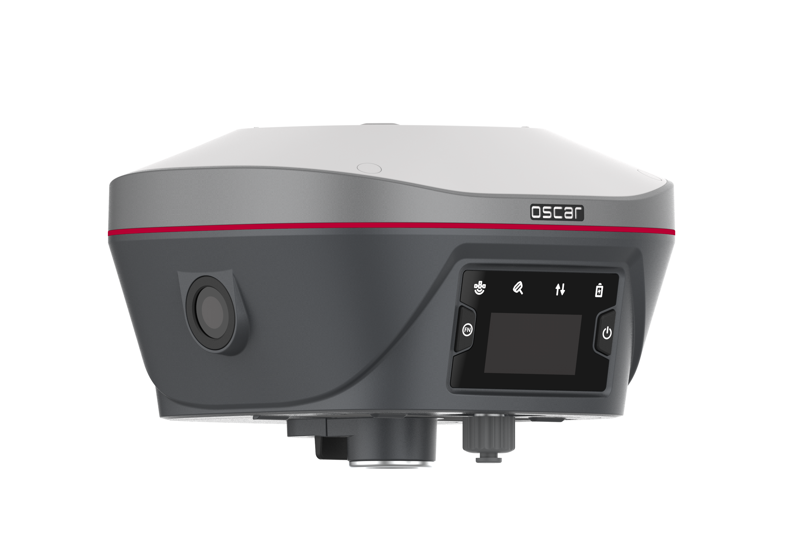
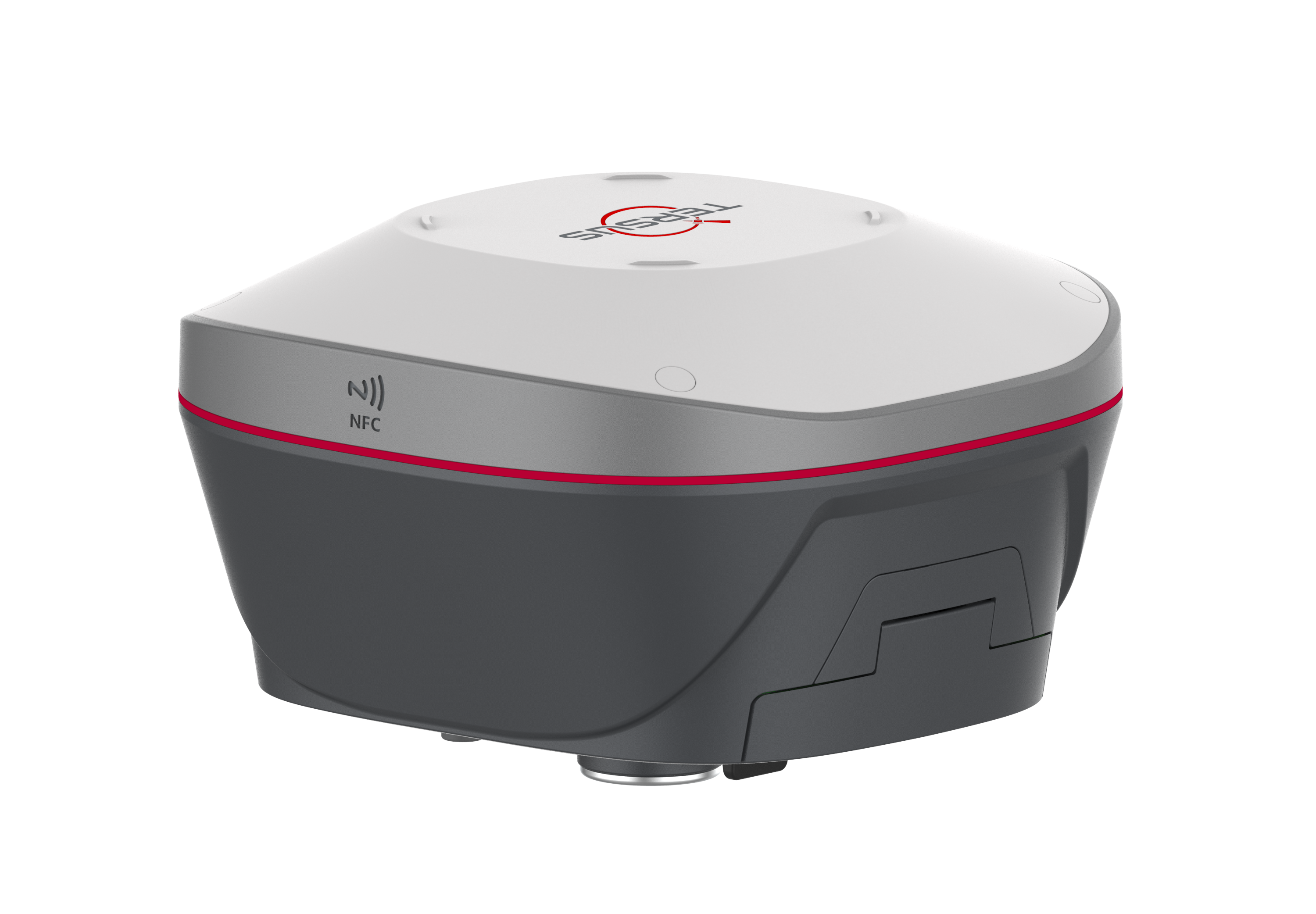
GNSS Base or Rover - The Everyday Workhorse
• Multi-frequency, full-constellation GNSS for daily production
• Consistent RTK performance in difficult environments
• Unlimited Tilt Compensation
• Seeing is Surveying - Visual Positioning Technology
Oscar Trek combines a high-definition camera, IMU tilt compensation, and GNSS for seamless,
non-contact visual measurements. It processes images in real-time to instantly provide precise
coordinates and ready to use .LAS cloud files.
Tersus Oscar Trek Visual Positioning Video
LUKA
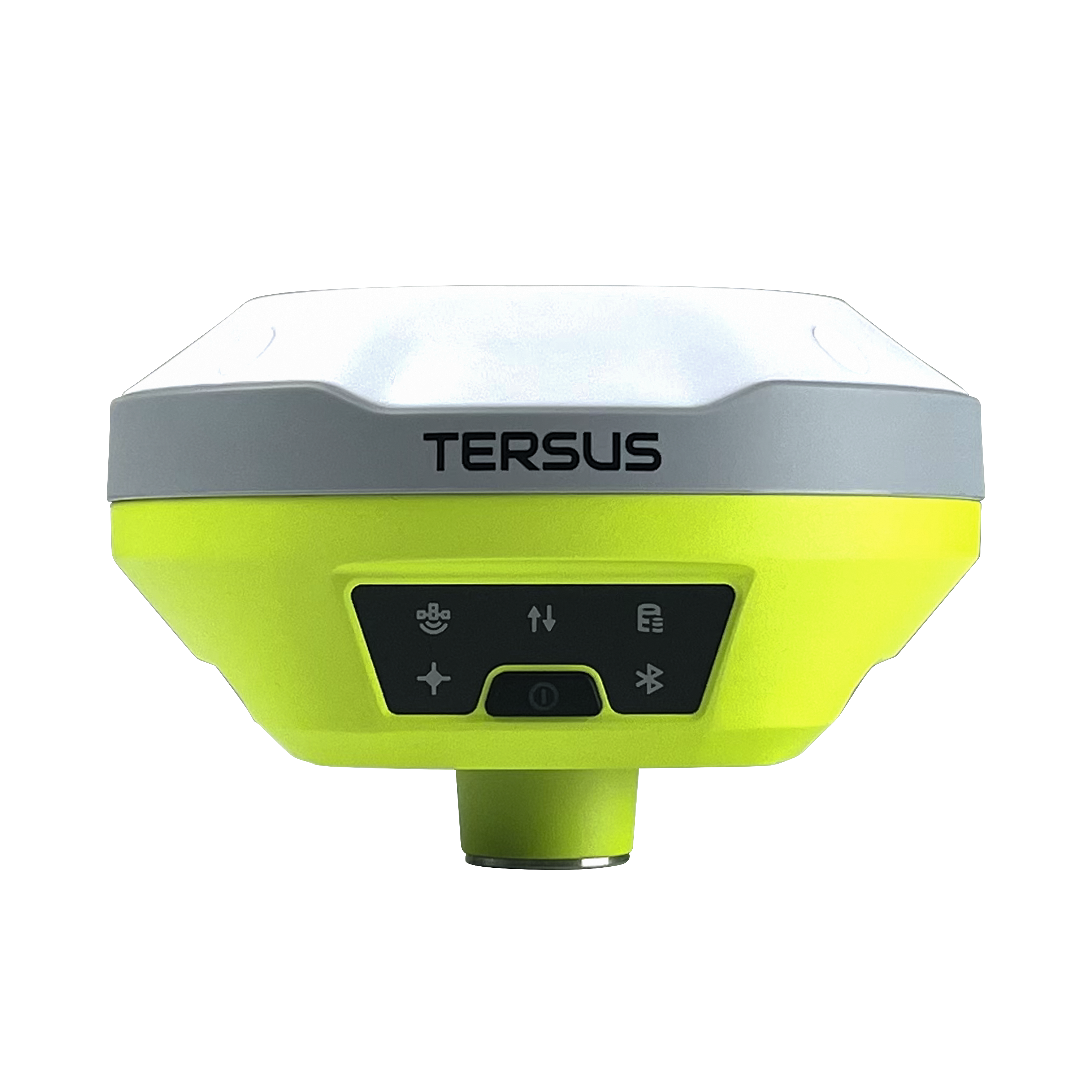
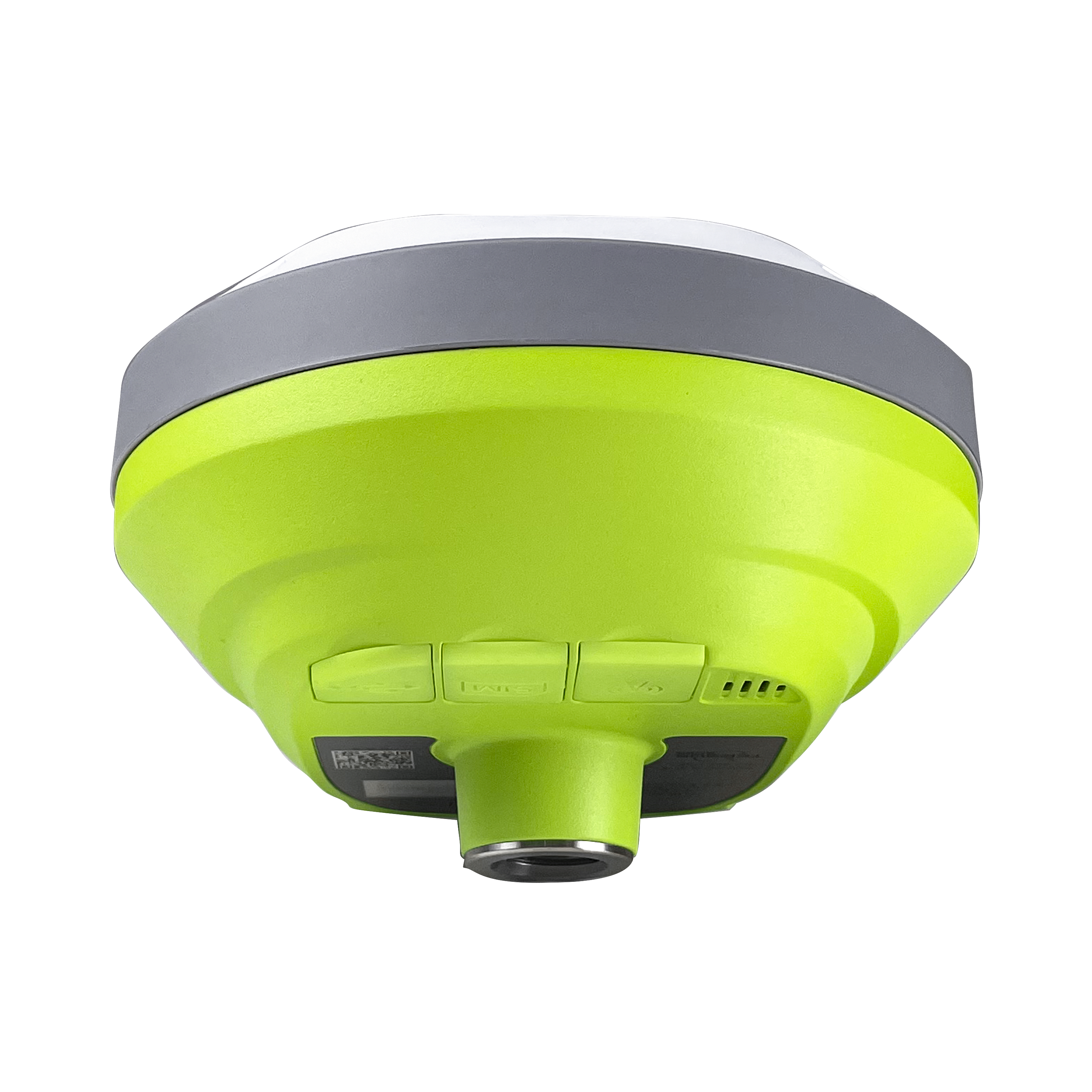

GNSS Base or Rover - Professional Accuracy, Practical Price
• Professional-grade accuracy for boundary, topo, and construction
• Rugged, lightweight, palm sized rover or base built for extreme field conditions (IP68 rating)
• Simple pairing and setup for fast deployment and ease of use.
• Unlimited Tilt Compensation
Tersus GNSS Luka Smart Receiver Highlights Video
TC40 / TC80 - Rugged Field Controllers

Reliable Android data collection with bright screens and tactile keys.
• Bright, glove-friendly touchscreens for outdoor visibility
• Physical keys for wet, cold-weather, and fast entry
• All-day battery performance built for production crews
• Seamless integration with Nuwa and Tersus GNSS receivers
TERSUS GEOBEE KIT W/ DAVID RECEIVER
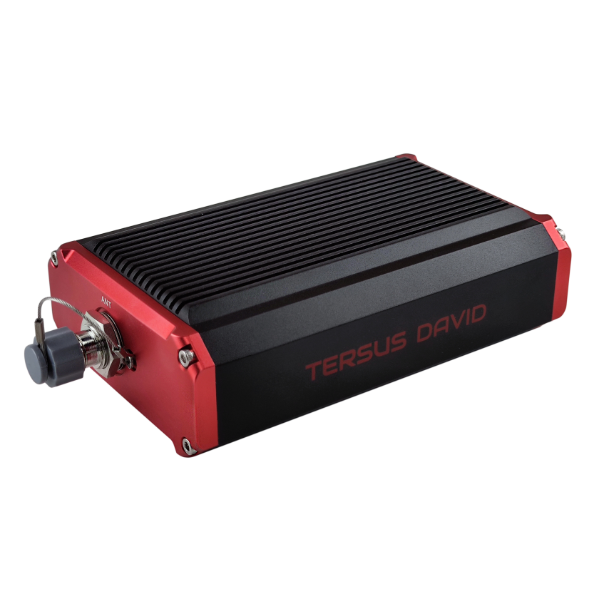
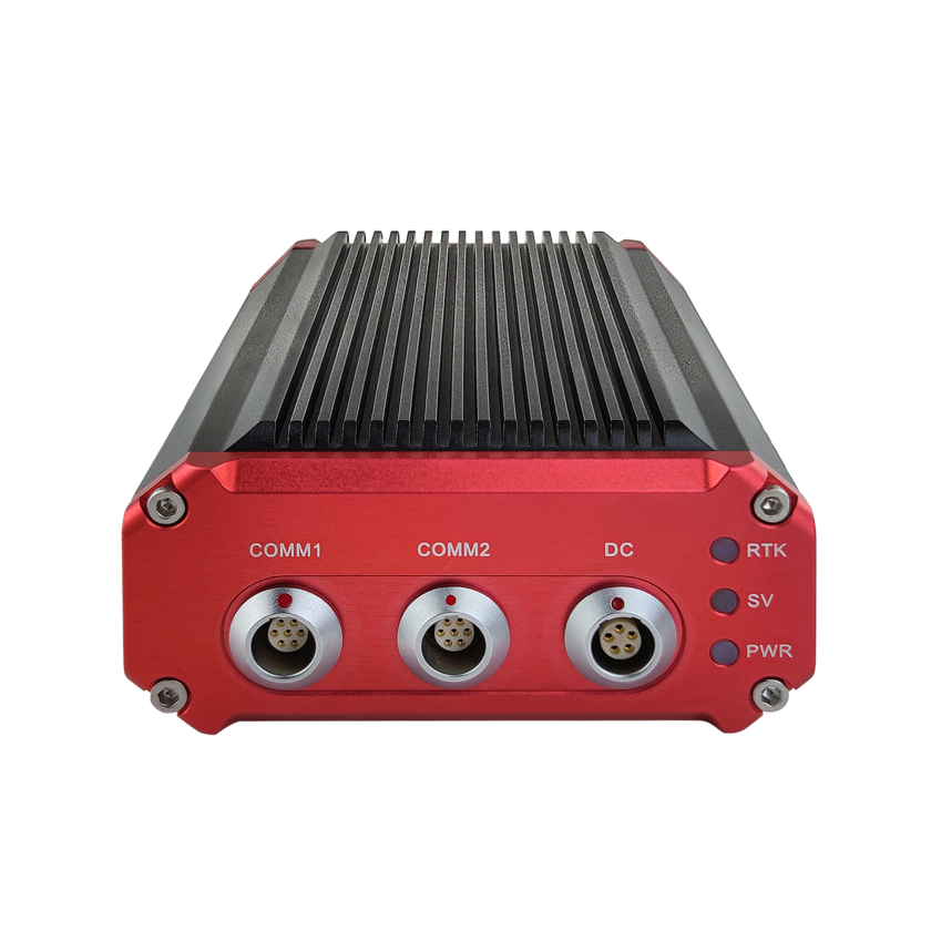
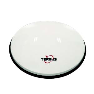
GNSS Permanent or Mobile Base Receiver - High-Performance Problem Solver
The Tersus GeoBee kit can be used as a permanent base or a vehicle mounted mobile base or rover utilizing NTRIP and UHF communications
TERSUS advanced positioning (tap)

TAP is a satellite-based precise point positioning service devolped by Tersus GNSS, which allows users to achieve centimeter-level high-precision positioning worldwide with the need for a base station or real-time network.
With TAP , the GNSS rover receiver does not need to get corrections from a local RTK base station or CORS, but directly receives corrections broadcast by the satellites, such as ephemeris error, satellite clock error, etc. TAP meets the demand of centimeter-level high-precision positioning in areas without or with poor network coverage, such as oceans, deserts, mountains, high altitudes, etc.