
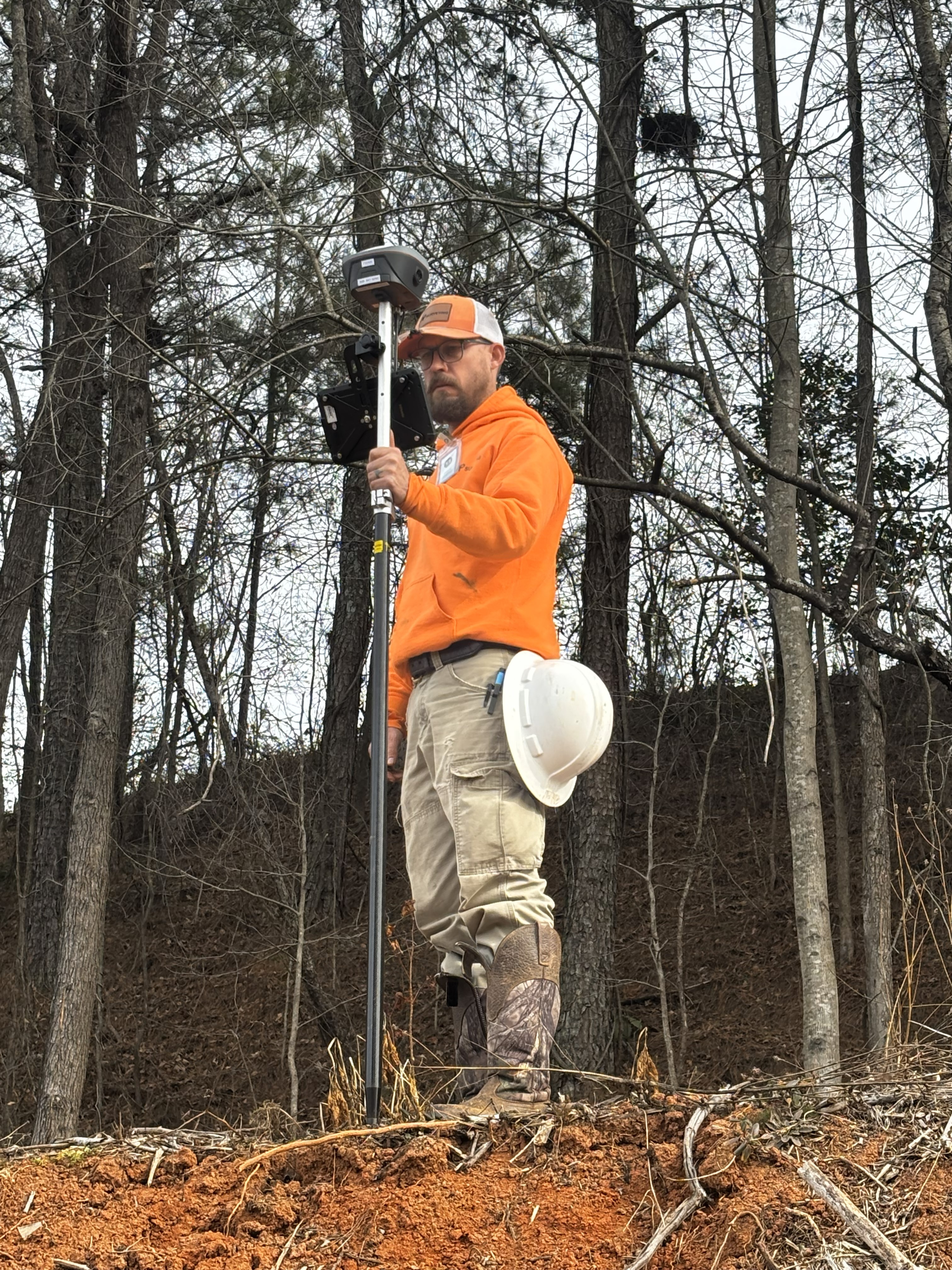
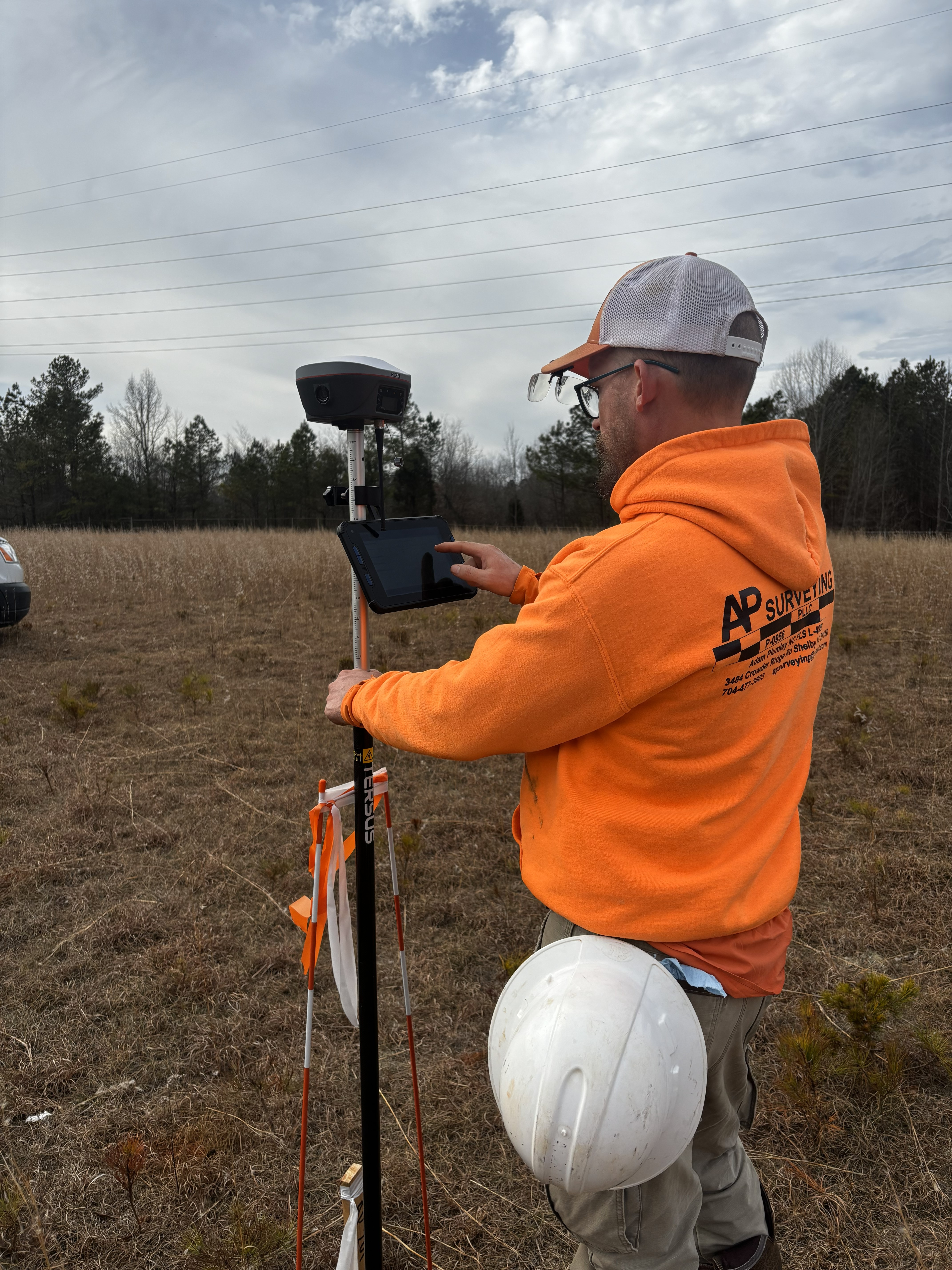
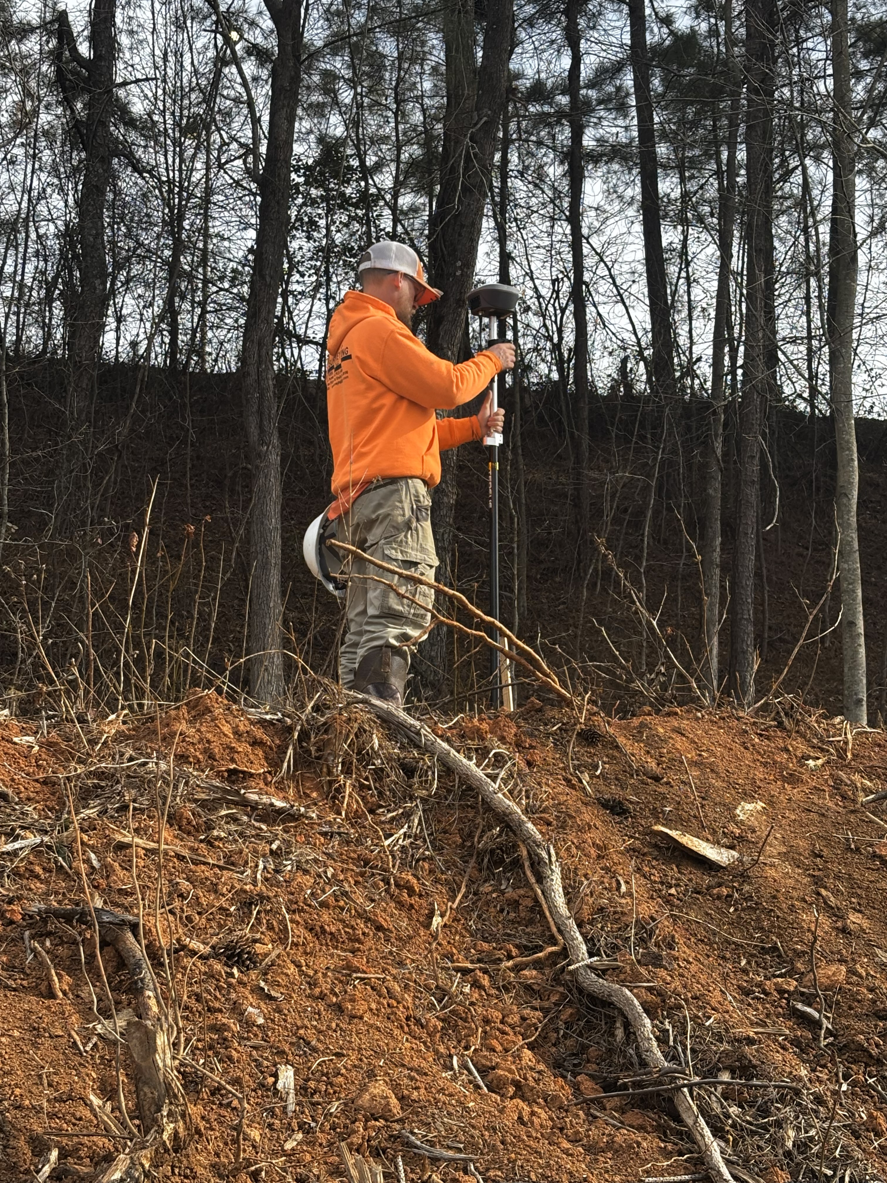
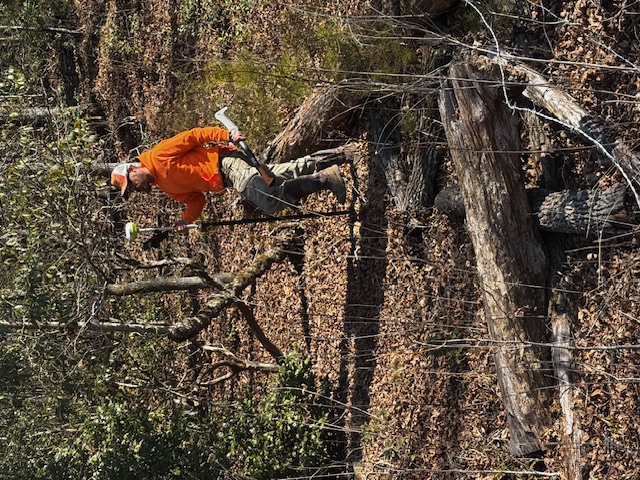

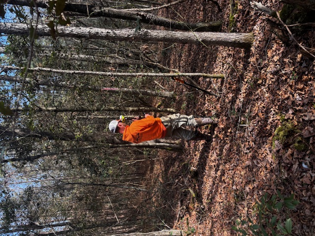
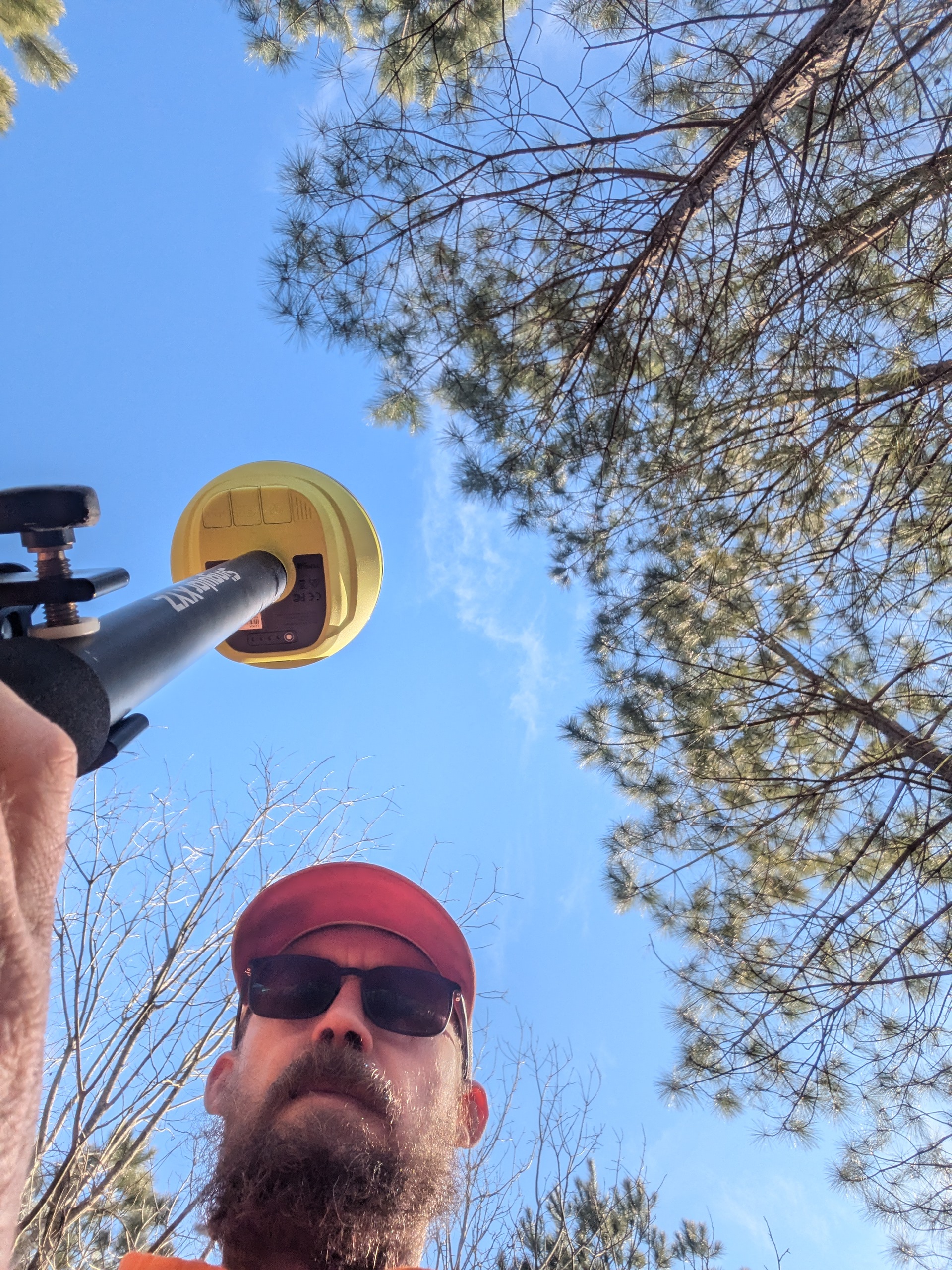
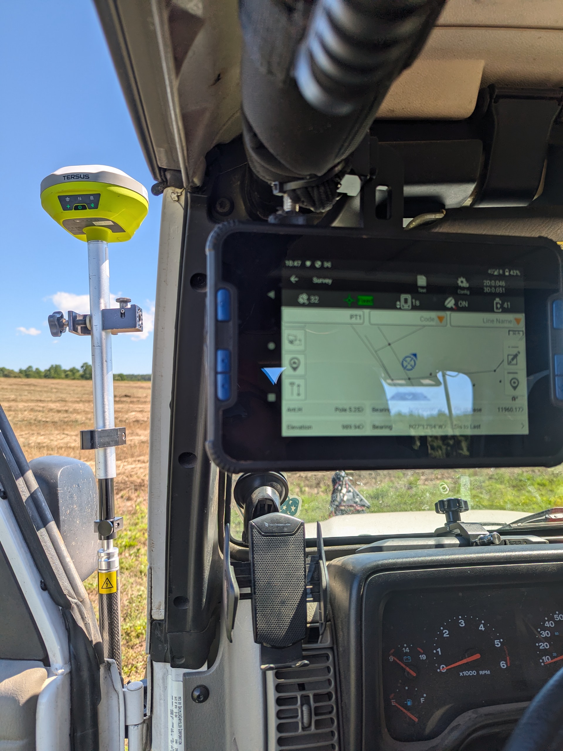
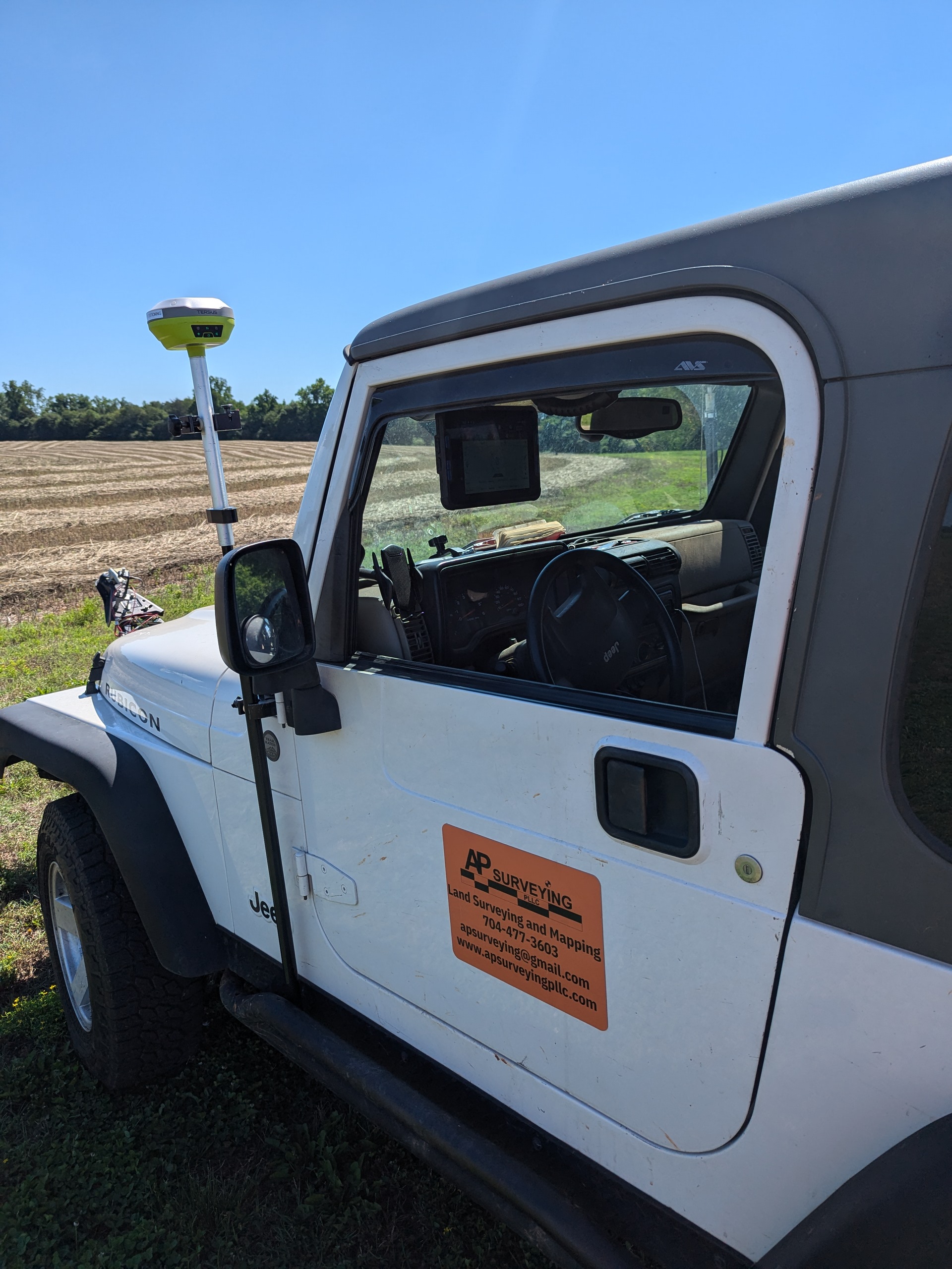
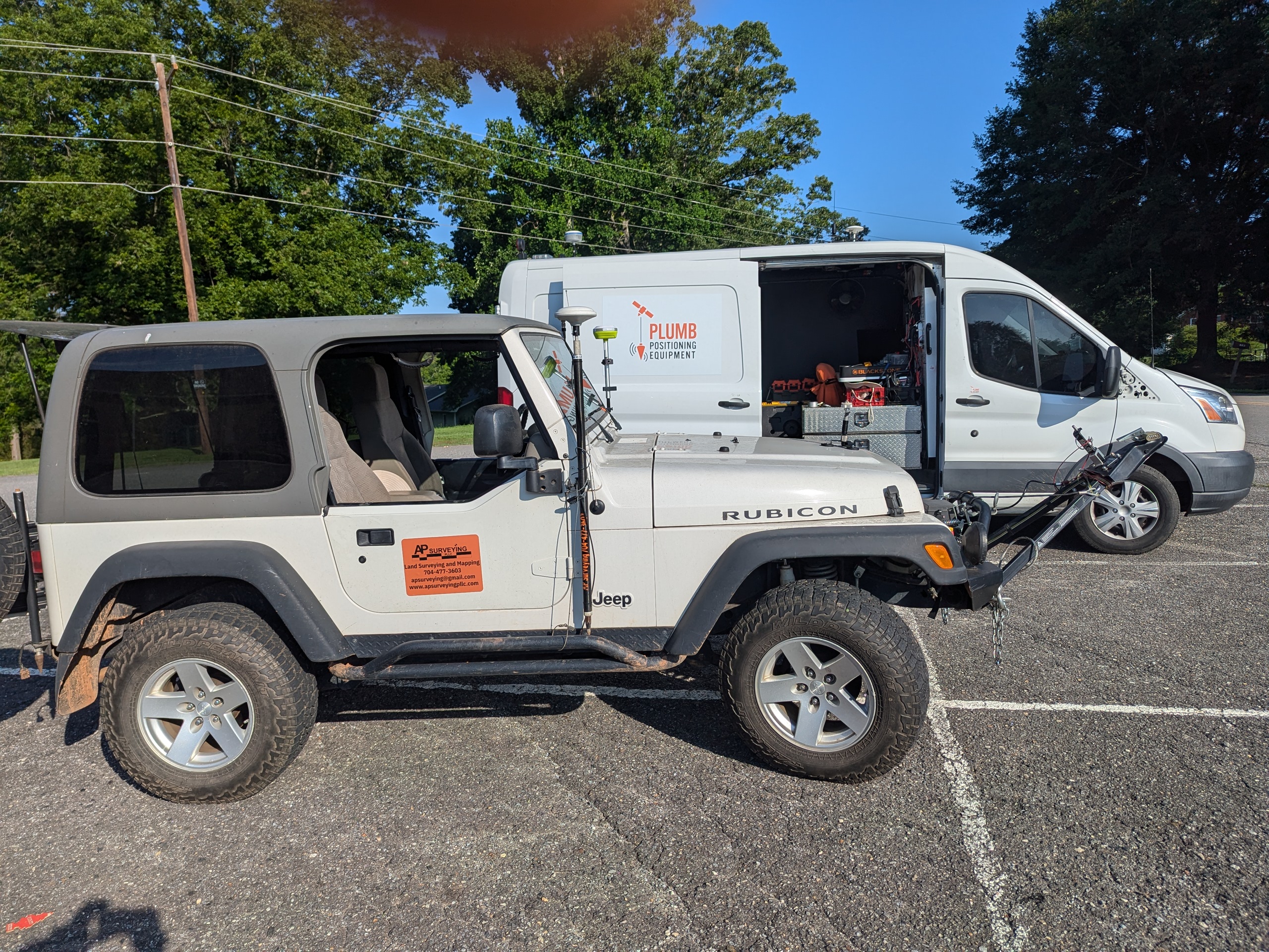
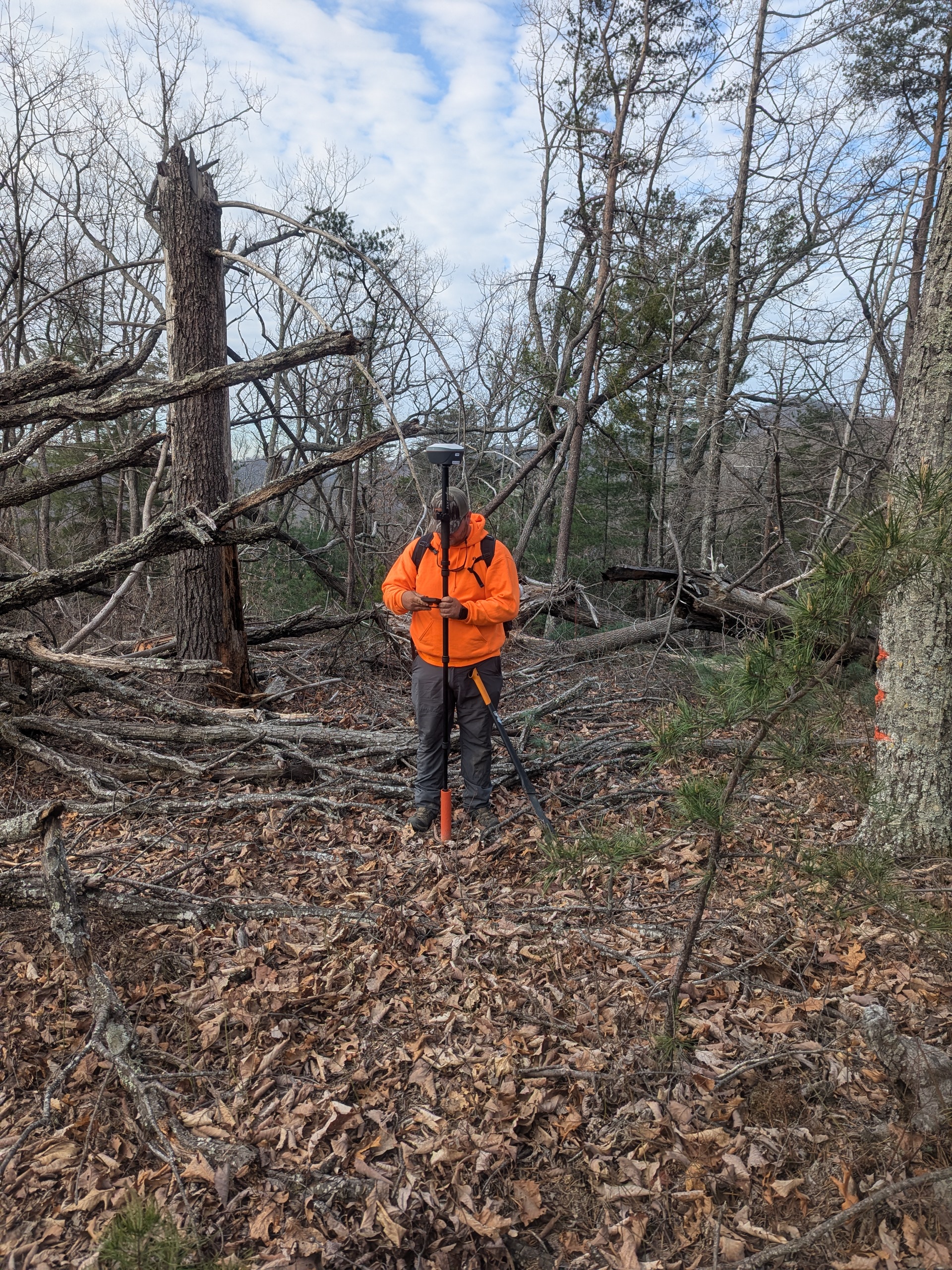
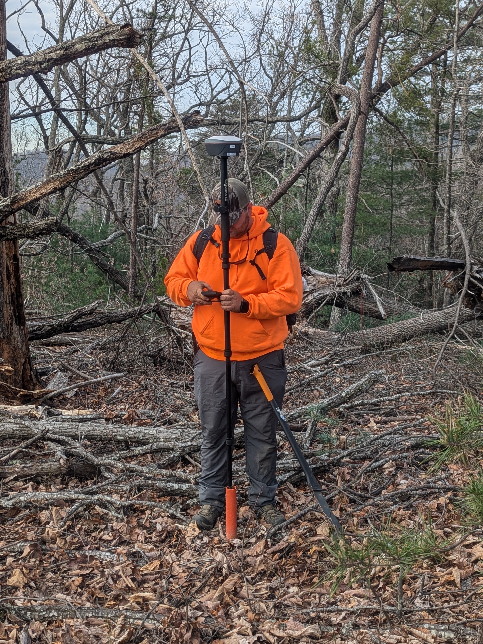
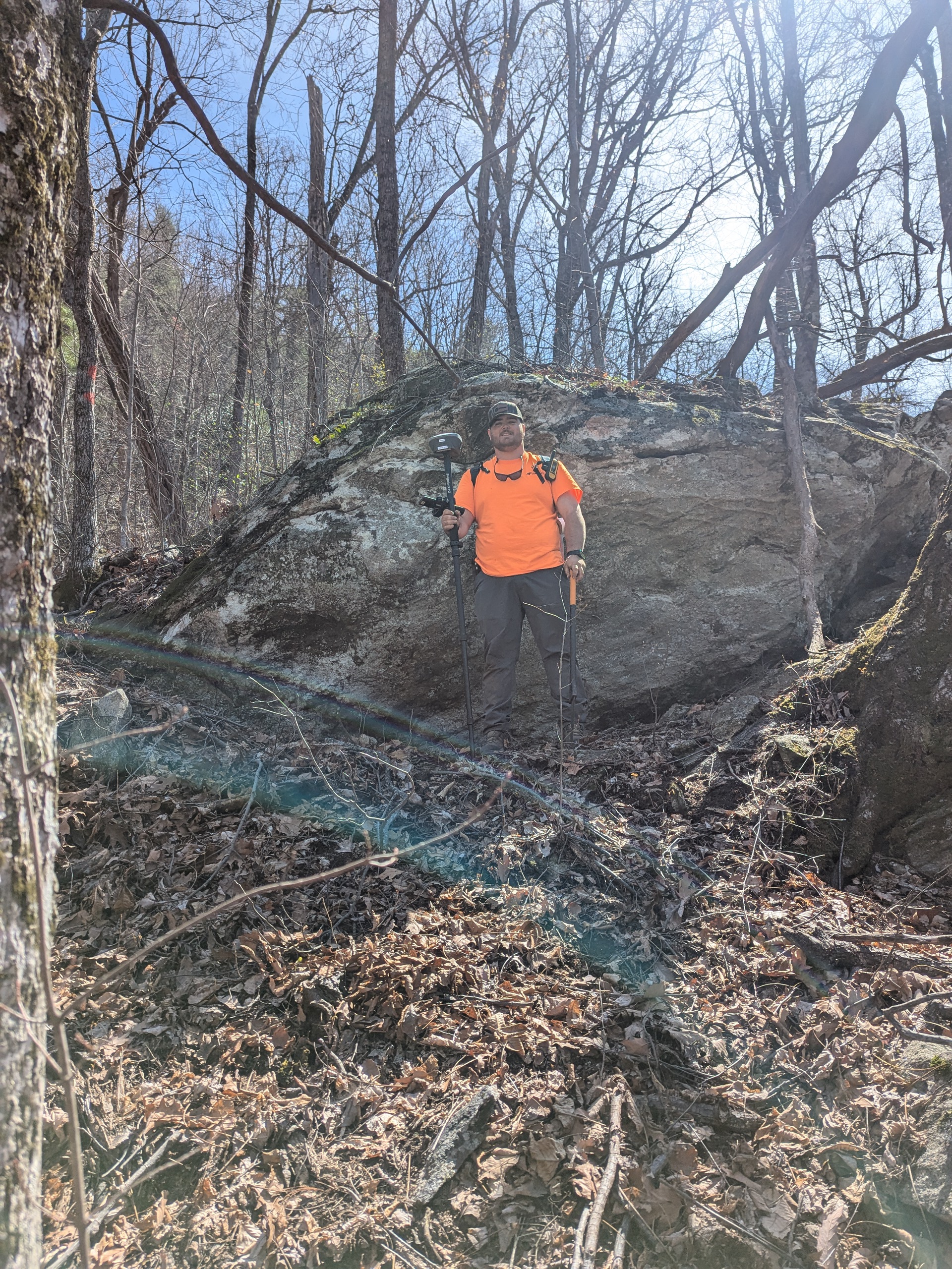
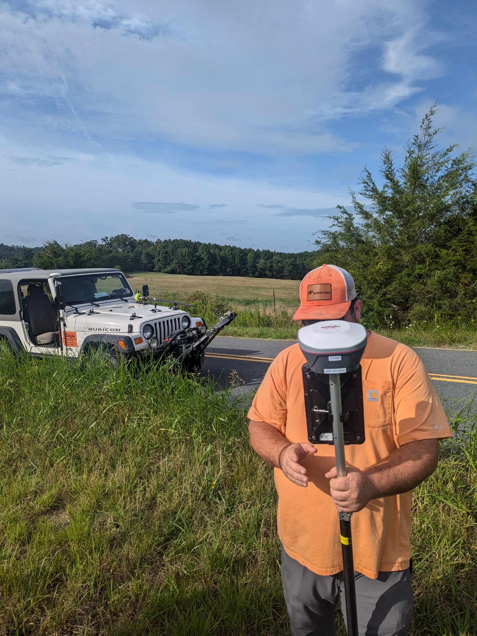
Real-world technology, field workflows, and solutions for today’s surveying and geospatial professionals. Plumb Positioning works directly with equipment and software in active field environments — from boundary surveying and RTK positioning to SLAM LiDAR scanning and deed research workflows.
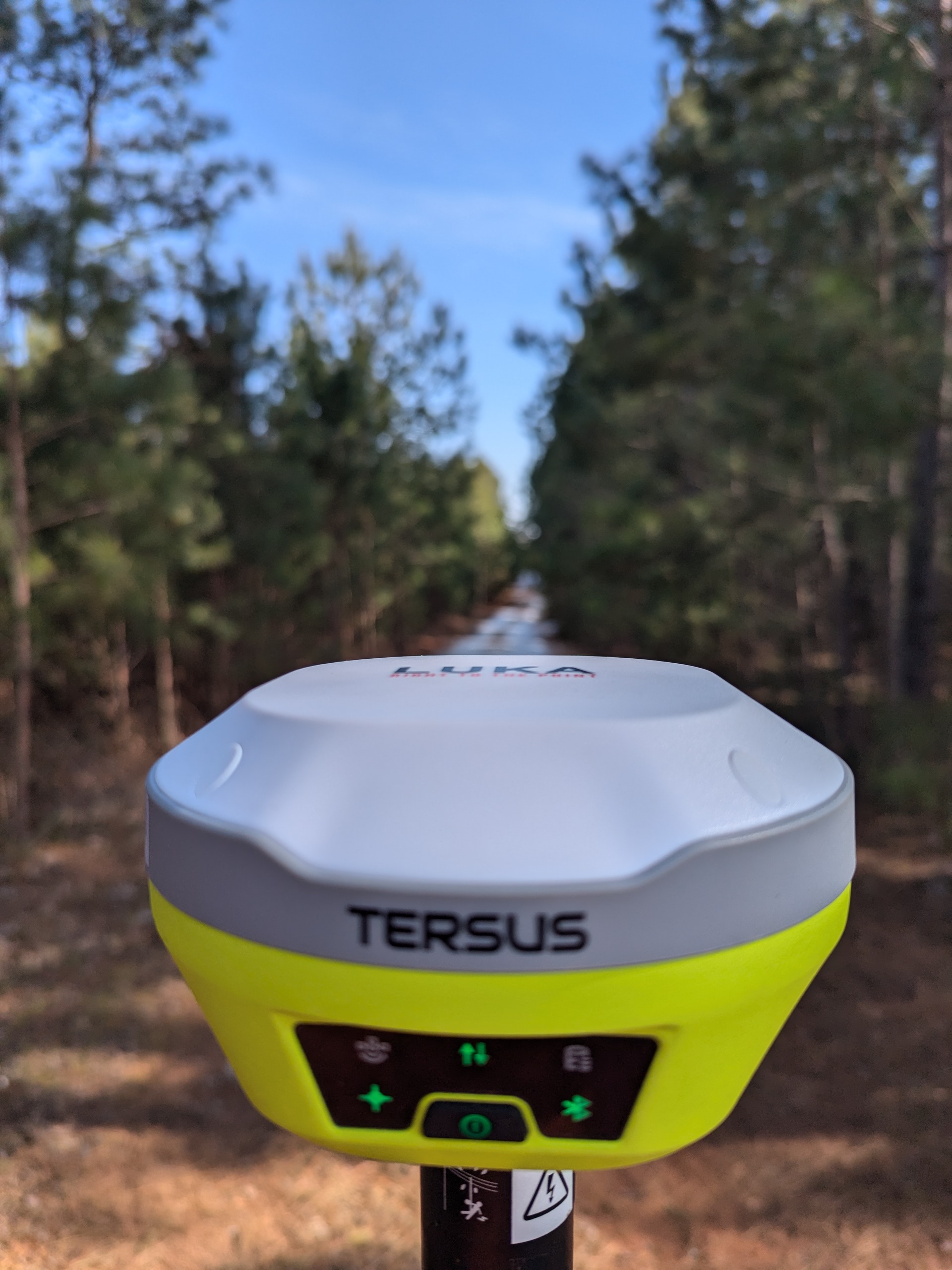
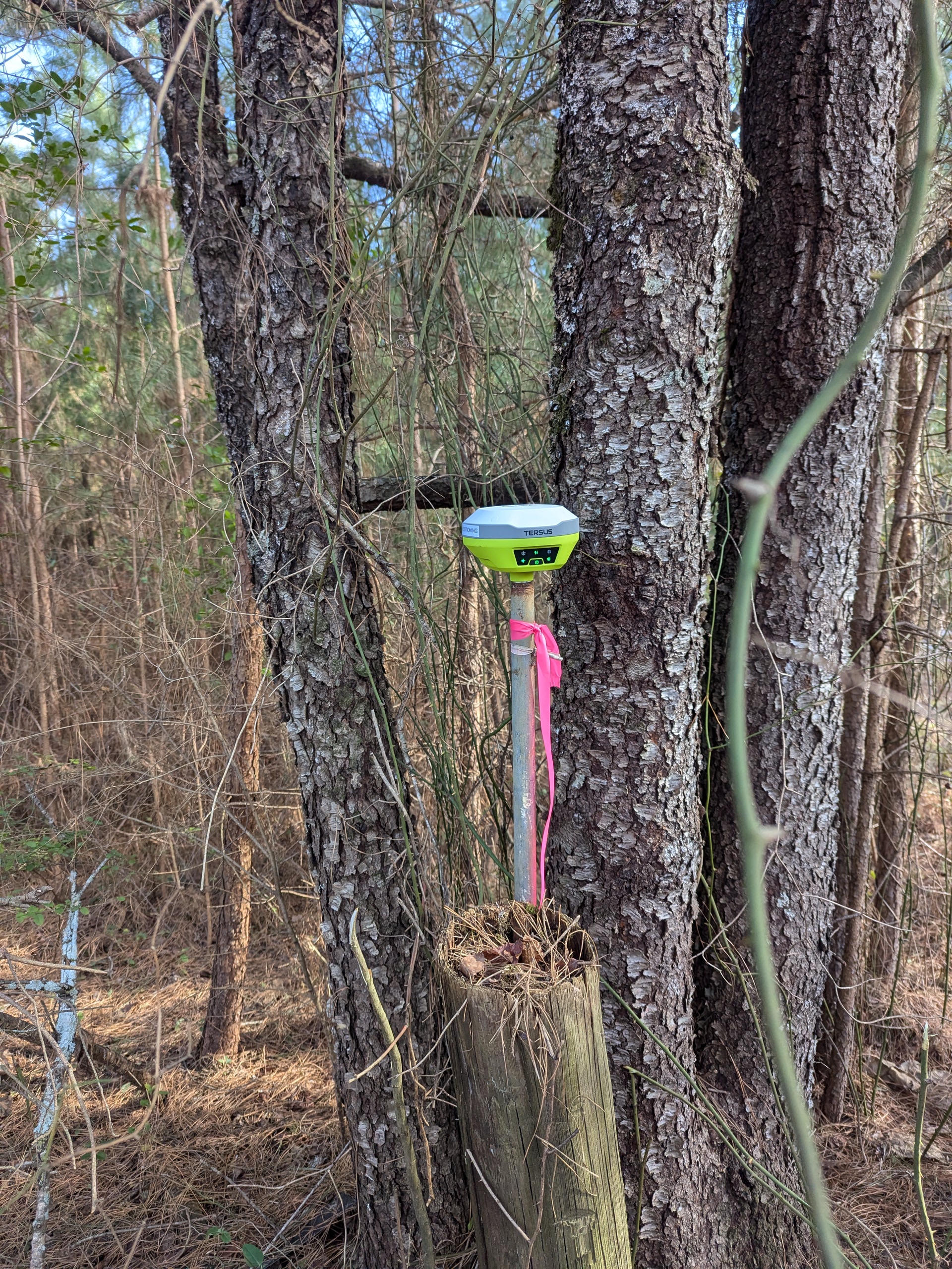
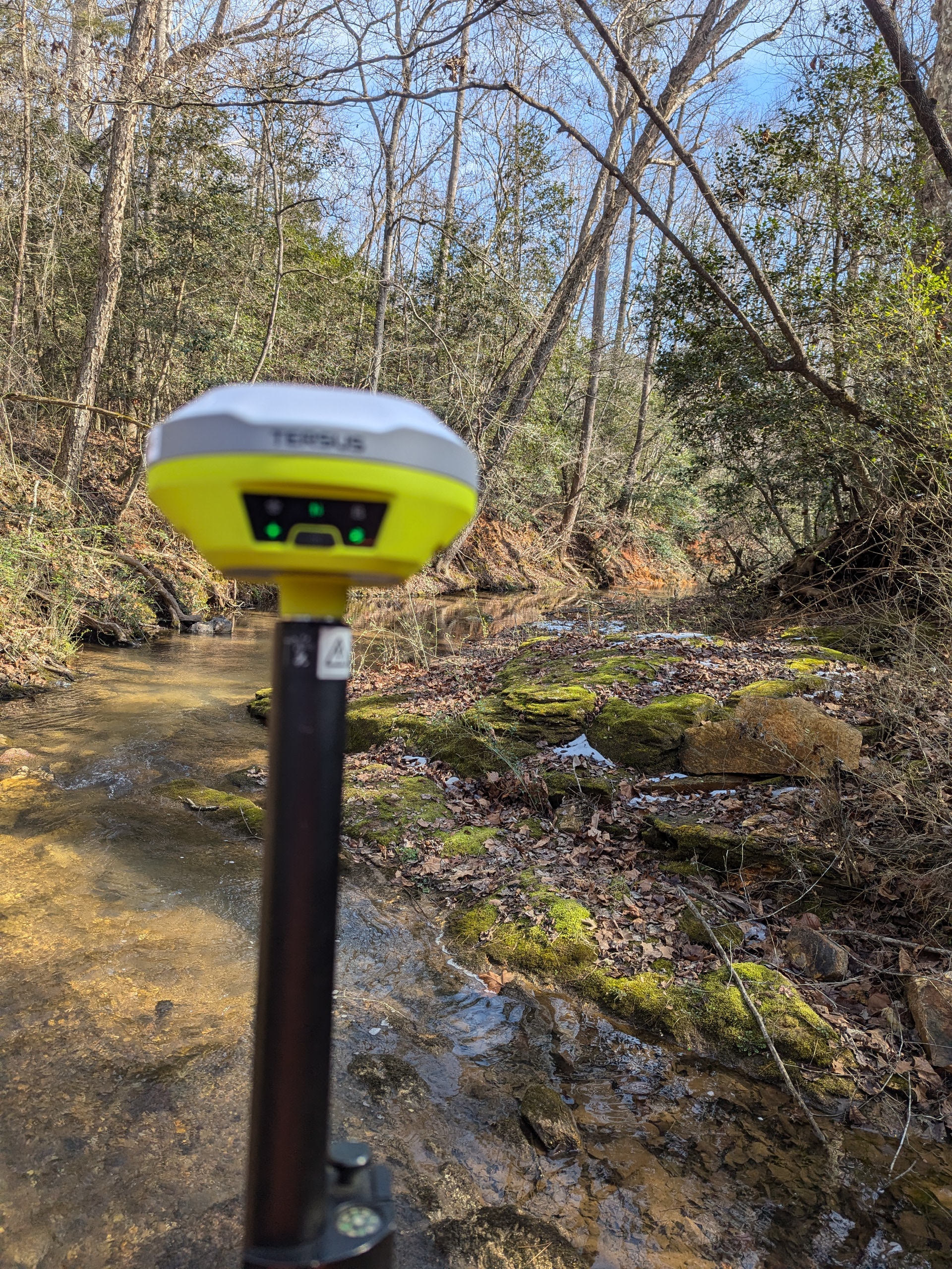
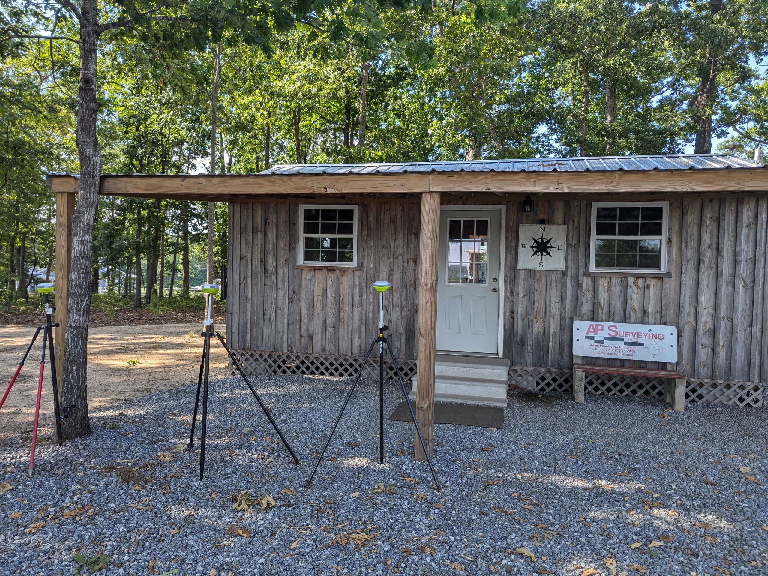
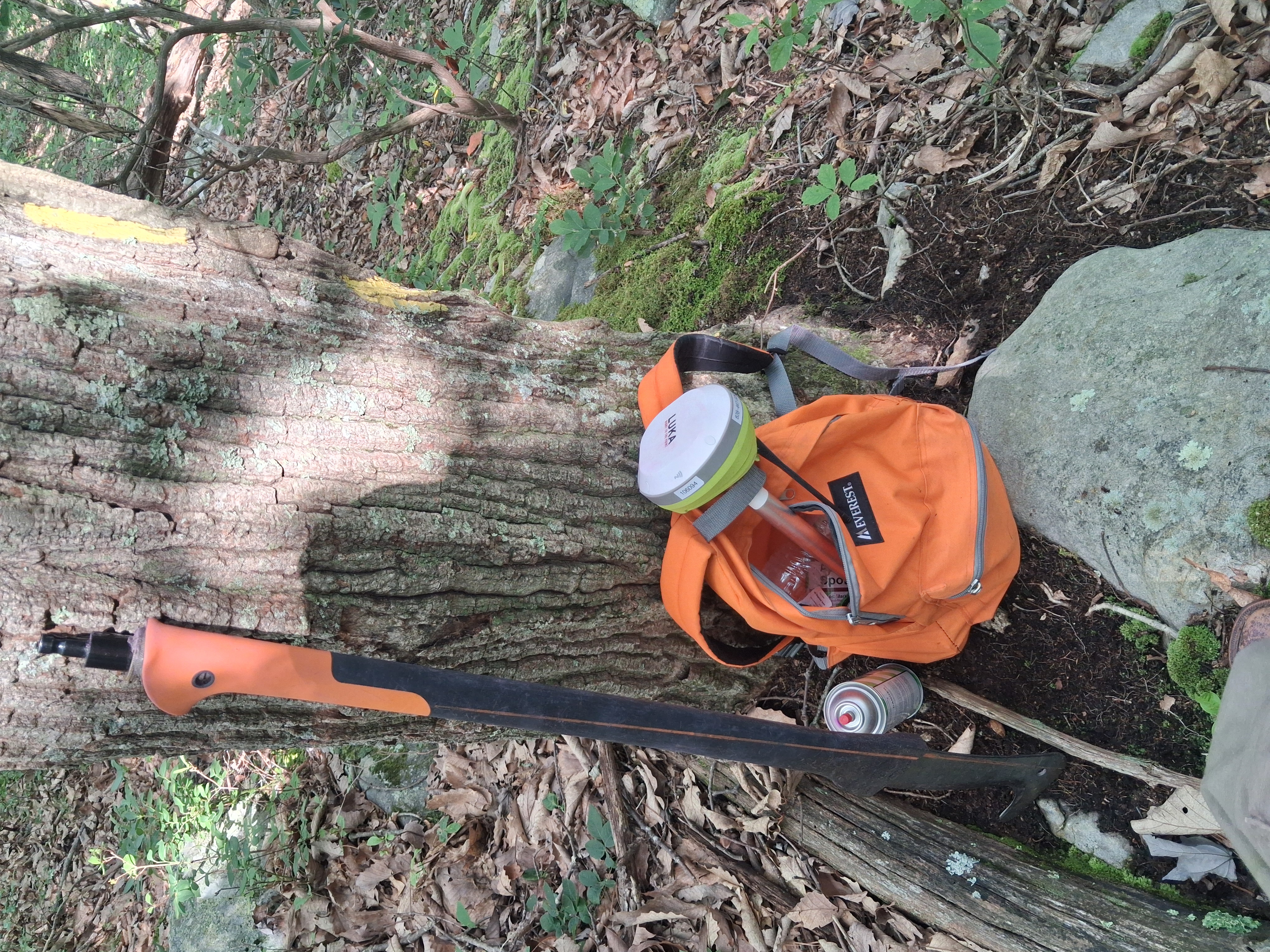
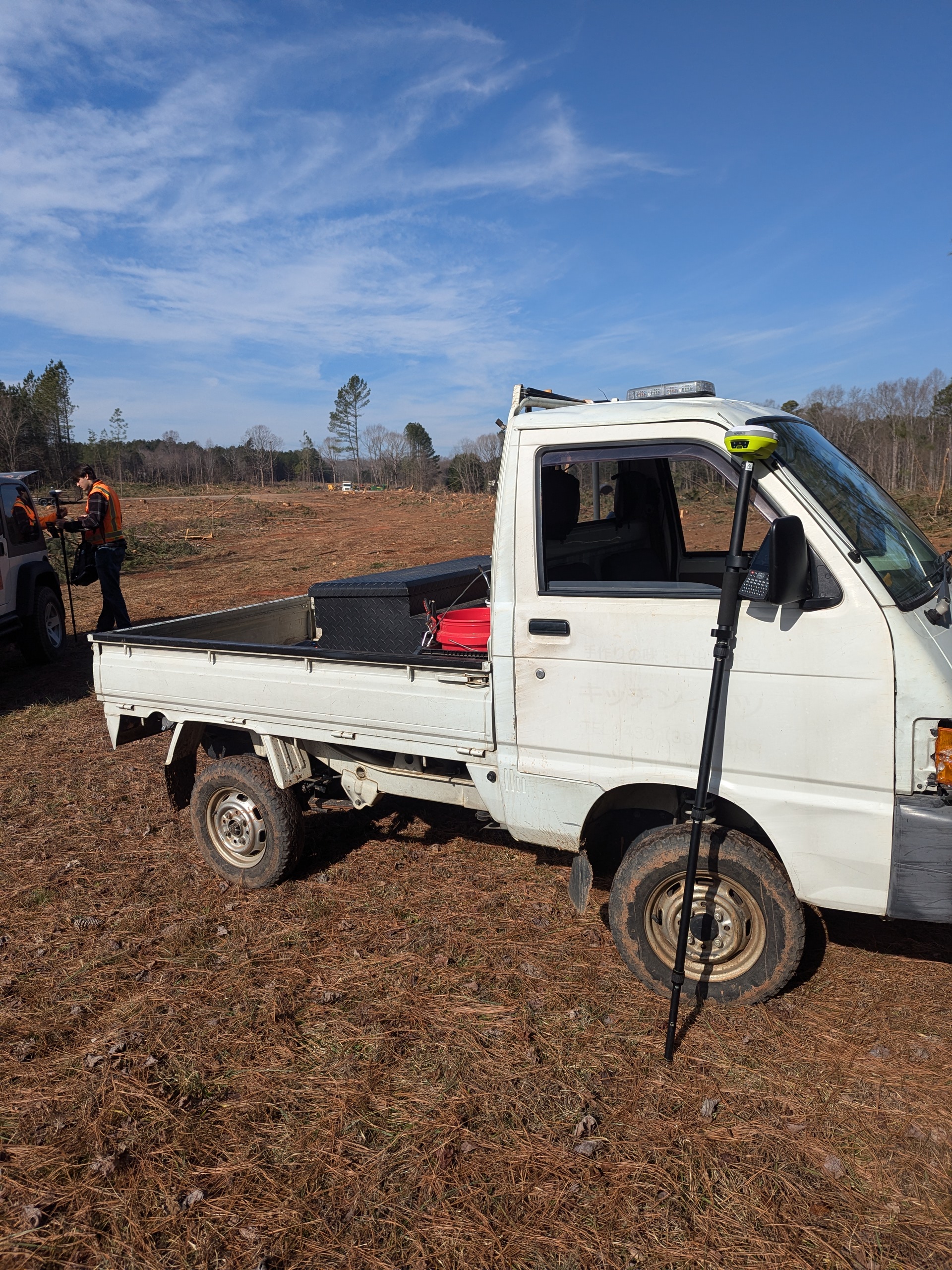
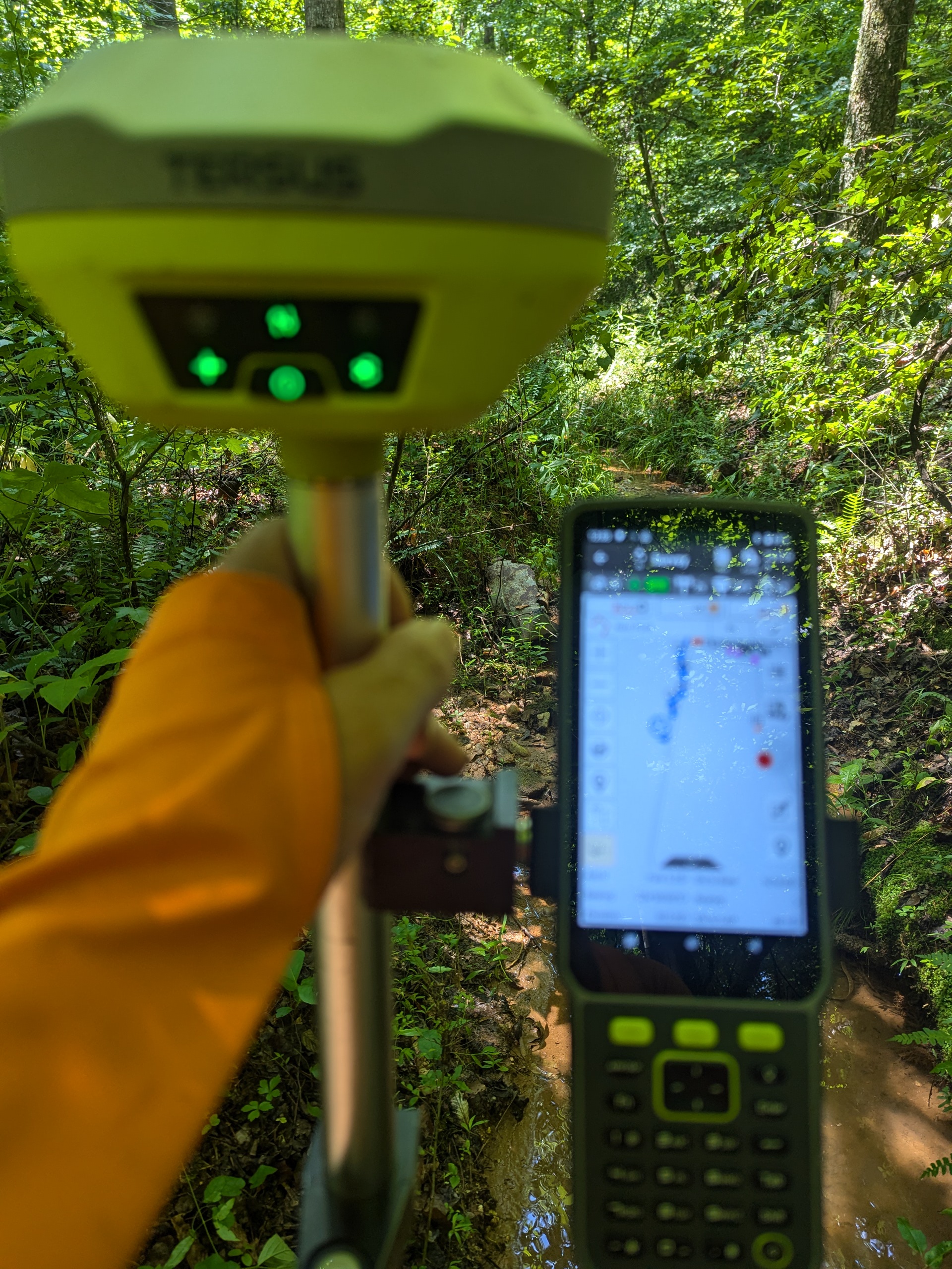
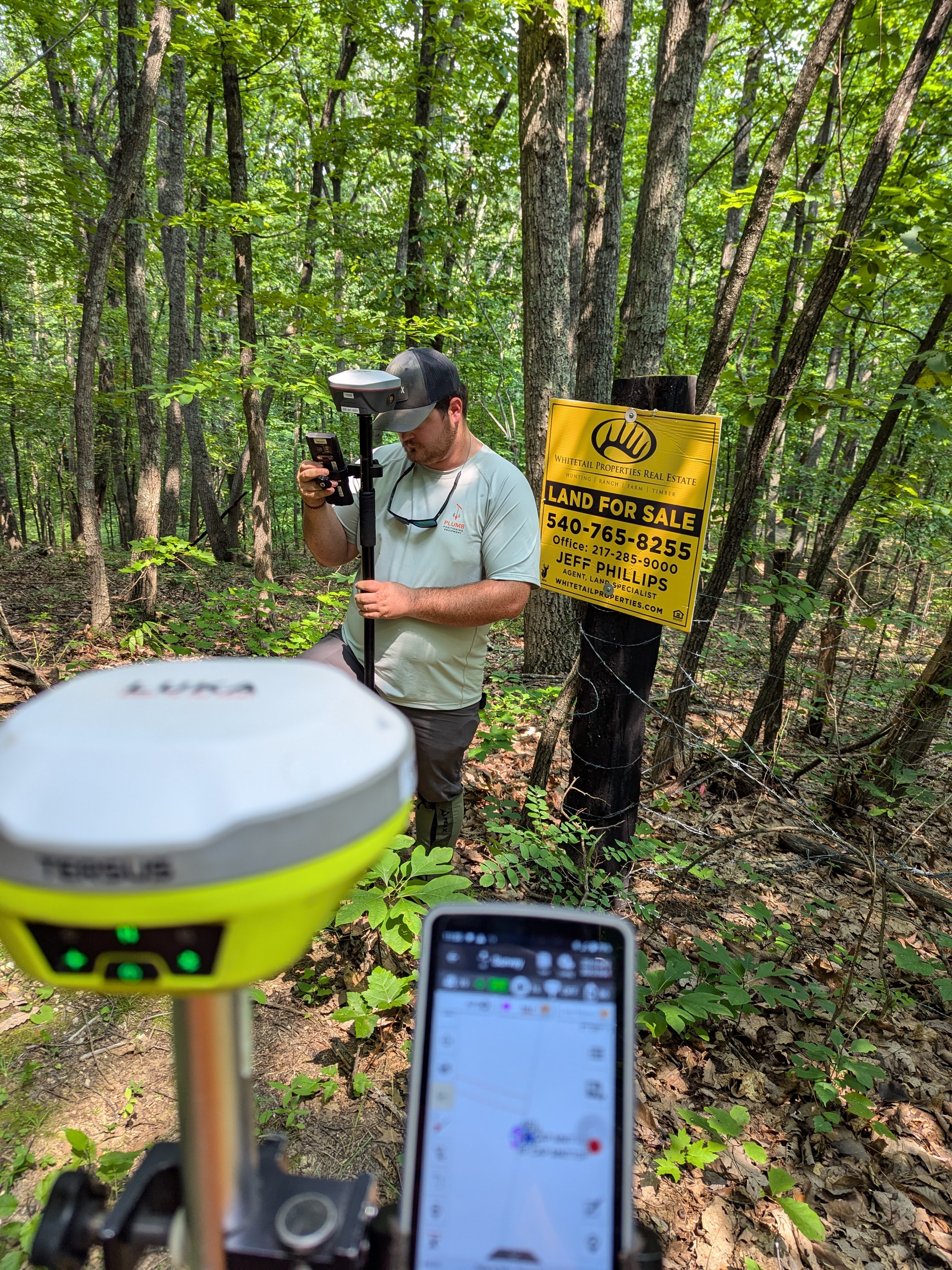
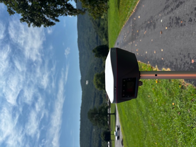
Modern RTK GNSS receivers continue to transform surveying workflows by improving productivity, repeatability, and positioning performance in the field. From boundary surveys and construction layout to GIS and control work, Tersus GNSS equipment delivers reliable positioning solutions for geospatial professionals.
Plumb Positioning provides Tersus GNSS systems including RTK base and rover configurations, field software integration, and workflow support for surveying and mapping applications.
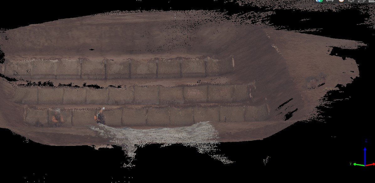
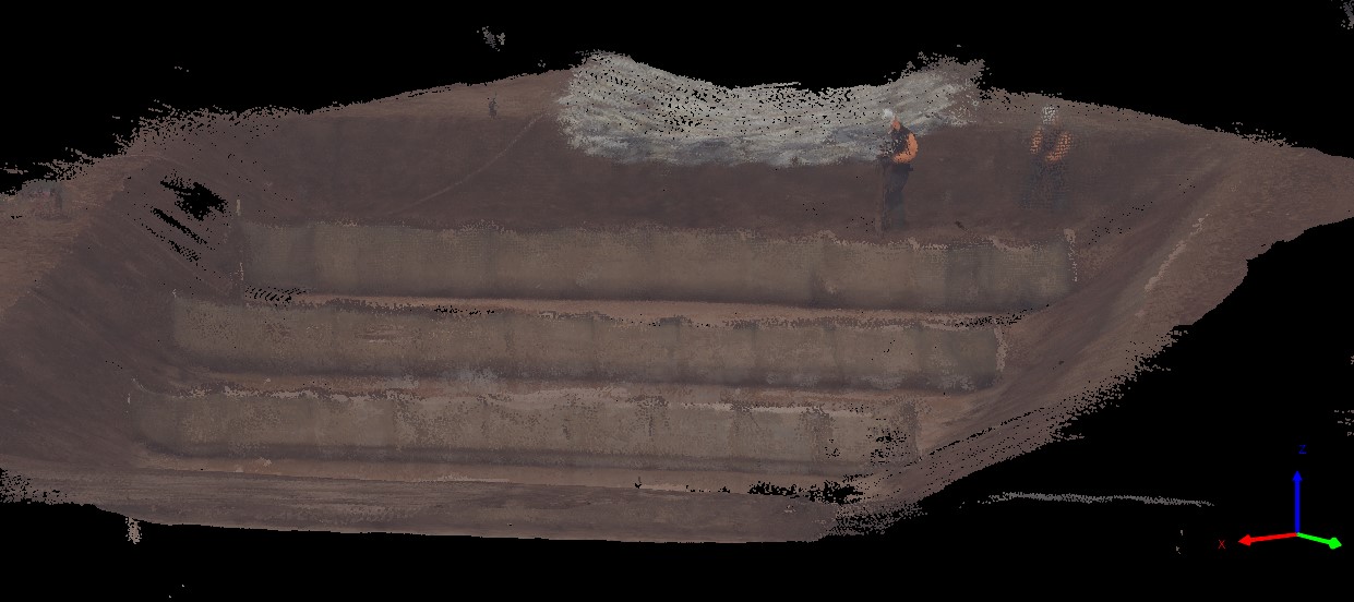
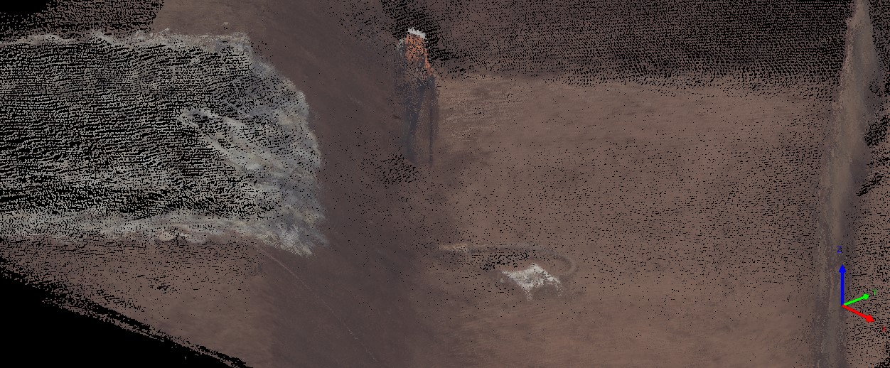
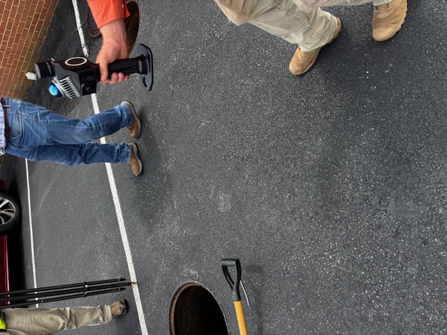
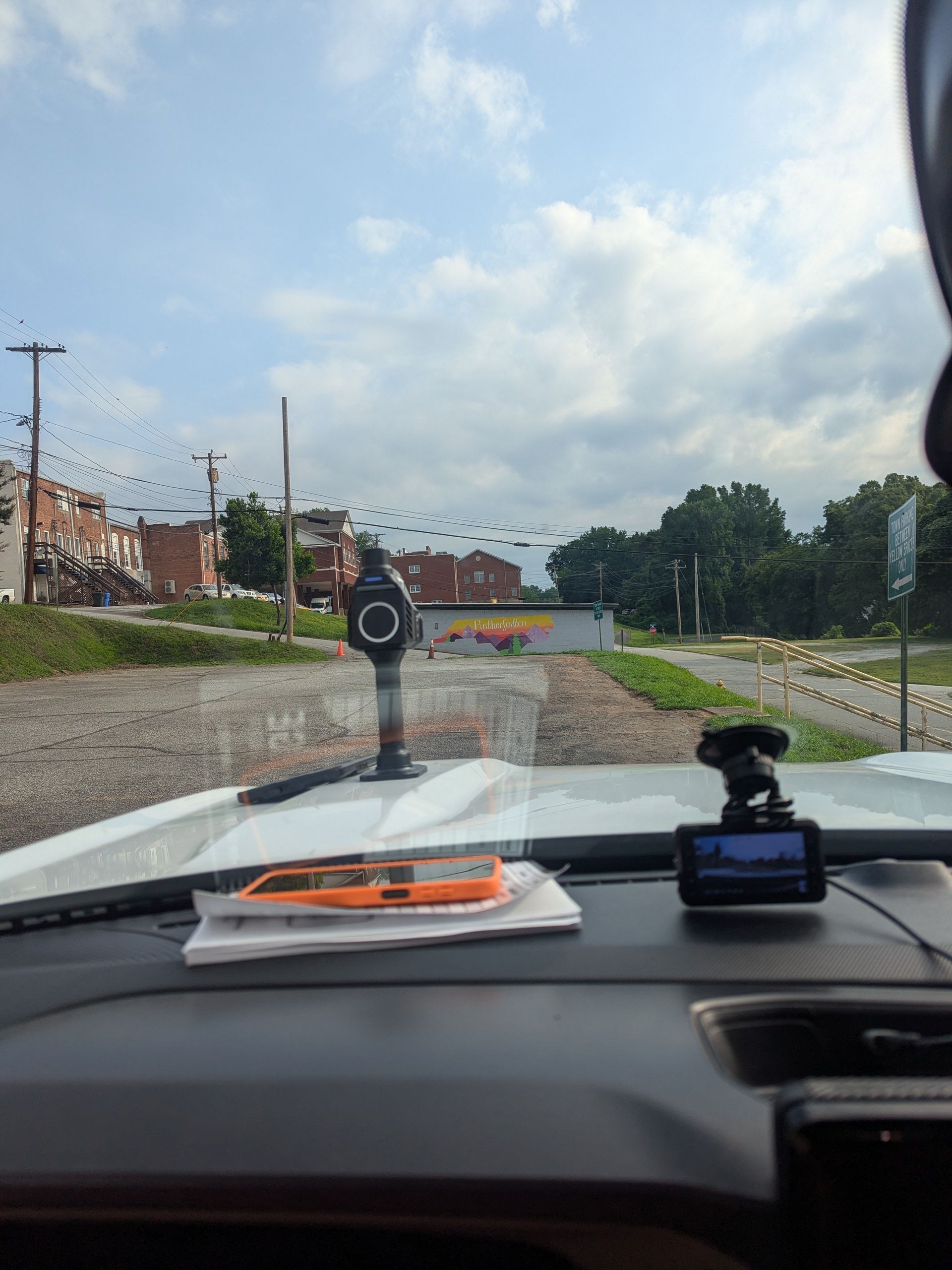
SLAM LiDAR and mobile mapping systems are changing how field data is captured for surveying, engineering, construction, and geospatial documentation. Handheld, backpack, and aerial systems now allow rapid point cloud collection in environments that were once difficult or time-consuming to map.
Plumb Positioning offers Tersus scanning solutions including handheld SLAM systems, mobile mapping workflows, aerial LiDAR platforms, and point cloud processing solutions.
Boundary research and deed interpretation remain foundational parts of the surveying profession. Deed Reader Pro helps streamline deed plotting, legal description review, and metes-and-bounds analysis for modern surveying workflows.
Whether reviewing complex descriptions, plotting historical calls, or organizing research for boundary retracement, Deed Reader Pro provides practical tools designed for survey professionals.
At Plumb Positioning, we believe equipment should be evaluated in real-world field conditions — not just on paper. From RTK positioning and utility locating to SLAM LiDAR scanning and boundary research software, our goal is to help surveyors and geospatial professionals find practical solutions that improve efficiency, accuracy, and workflow integration.